Better data means better outcomes for nature
Using GPS mapping and spatial technology, our team is improving native revegetation and habitat restoration planning across our project sites.
Successful revegetation and restoration projects start with understanding the landscape. Our team is using GPS mapping technology to help us plan smarter, monitor change and deliver more targeted conservation outcomes.
Using Avenza Pro alongside ArcGIS Pro, our Project Officers can collect important information in the field and build a detailed picture of each site, including:
Accurately identifying proposed planting zones
Recording significant site threats such as weeds, infrastructure and hazards
Tracking areas threated for weed control and site preparation
Recording threatened and endangered flora and fauna observations
Mapping survey efforts across the landscape
Estimating future tree canopy to guide revegetation planning
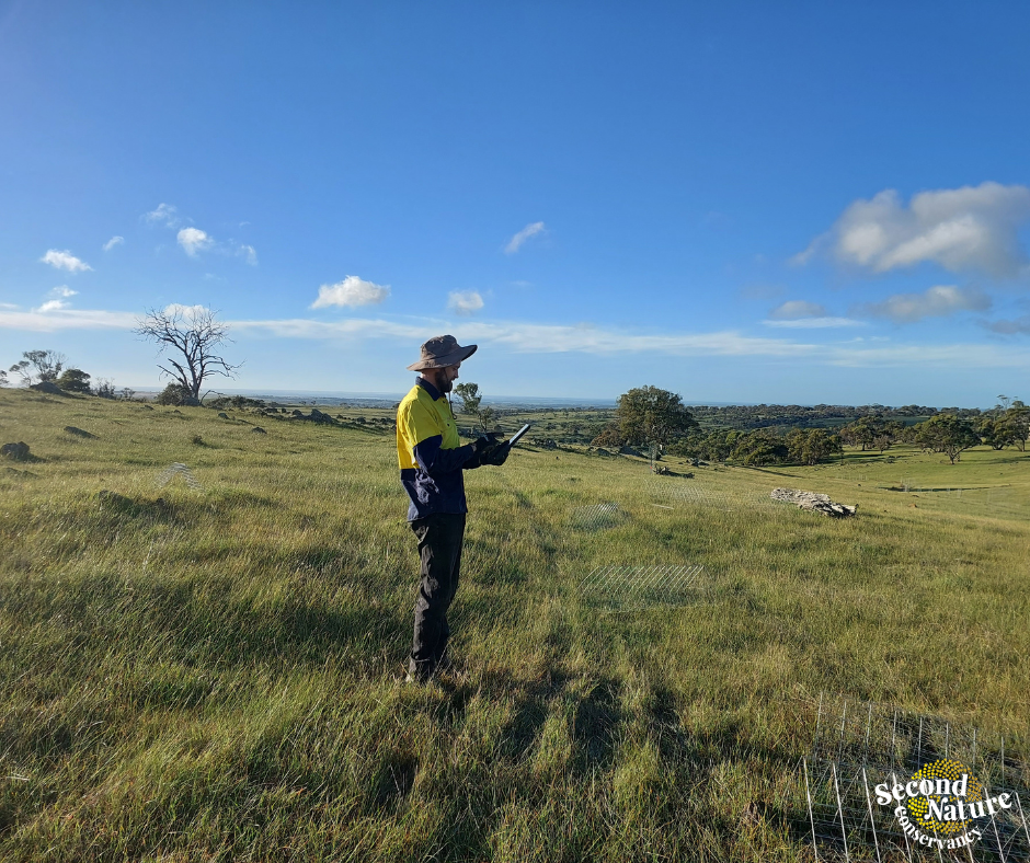
Project Officer Ky out in the field
By combining on-ground knowledge with accurate spatial data, our team can make evidence-based decisions, improve project planning and track how restored landscapes change over time.
Every project adds to our understanding of what works, helping us refine our approach, use resources effectively and set ambitious restoration goals.
Technology doesn’t replace the experience of our Project Officers - it gives them better tools to do what they do best: restoring native habitats and protecting biodiversity for future generations.
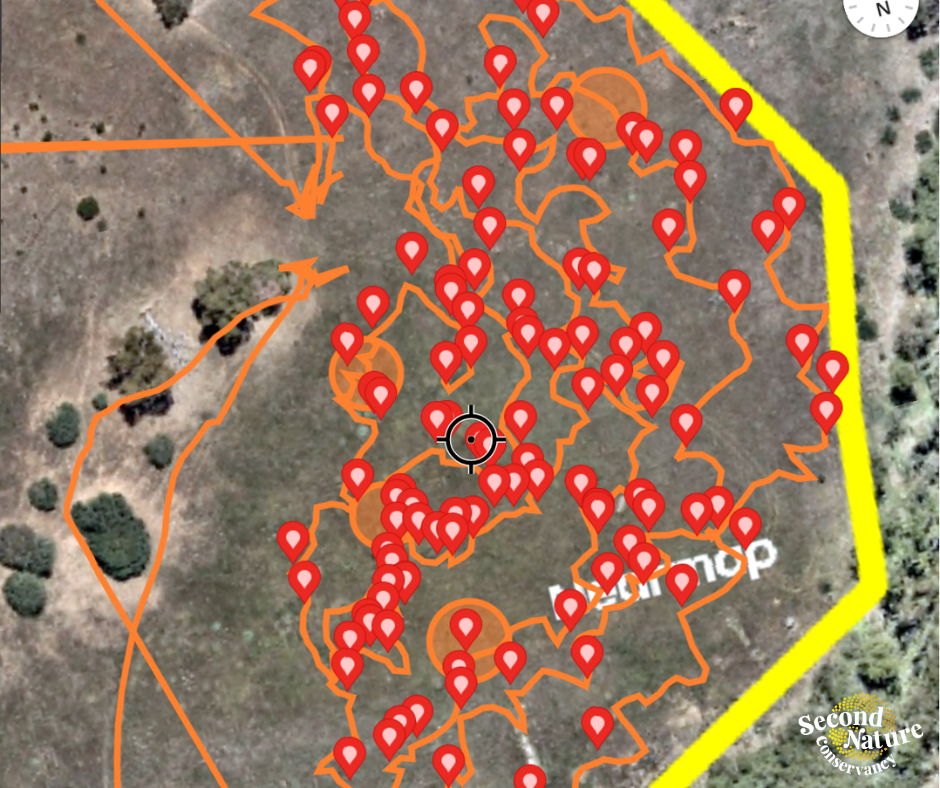
An example of the mapping